
Innovation. Precision. Results.
Powering smarter decisions with high-accuracy geospatial systems for modern surveying.
PROUDLY SERVING CALIFORNIA & ARIZONA
High-Precision Geospatial Solutions
Western GEO proudly serves surveying and mapping professionals across California and Arizona with industry-leading geospatial solutions designed to elevate every project. Partnering with CHCNAV, we provide advanced GNSS receivers, LiDAR scanners, UAVs, hydrographic systems, and monitoring technologies that support 3D mapping, aerial, land, and marine surveying. With accuracy, reliability, and performance at the core, Western GEO helps transform precise geospatial data into confident, informed decisions—so you can work smarter, faster, and with absolute confidence in the field.

GNSS Smart Antennas
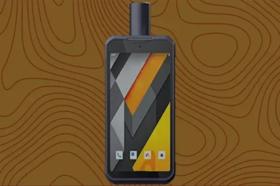
Controllers & Tablets
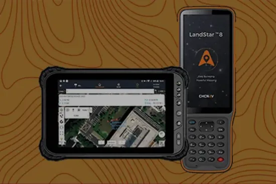
Surveying Software
GNSS Sensors
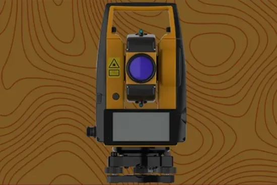
Total Stations
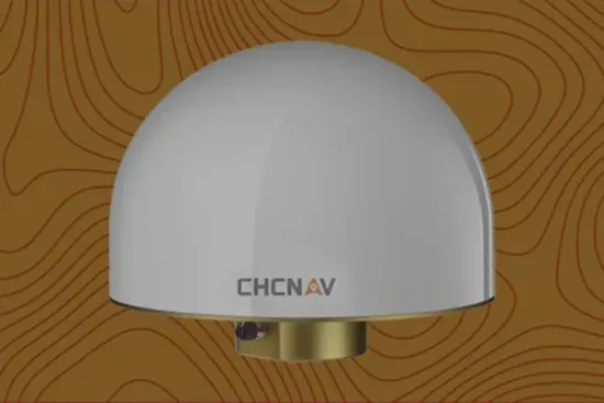
GNSS Antennas
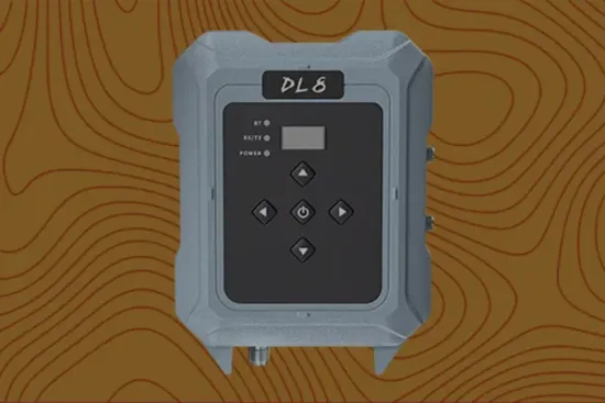
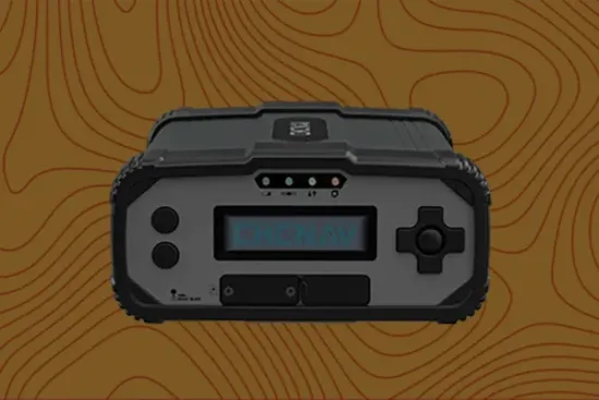
Datalinks

Start Your Project
FEATURED PRODUCT
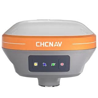
GNSS Smart Antennas
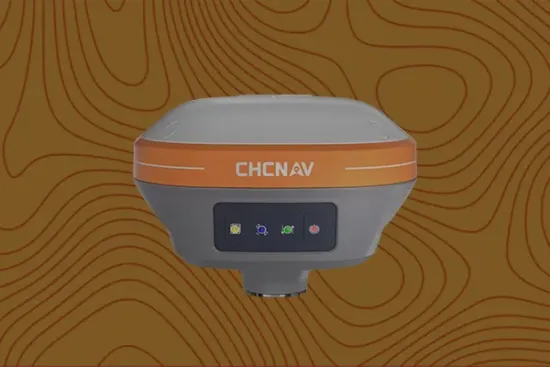
CHCNAV i73+
The i73+ GNSS is a compact receiver with a built-in UHF modem, perfect for base station or rover applications. Its automatic pole tilt compensation boosts point measurement efficiency by 20% and improves stakeout productivity by 30%. Lightweight and portable, the i73+ enhances survey comfort, adapting easily to various job sites and reducing operator fatigue.